Nature Coast major fishing area
Cedar Key
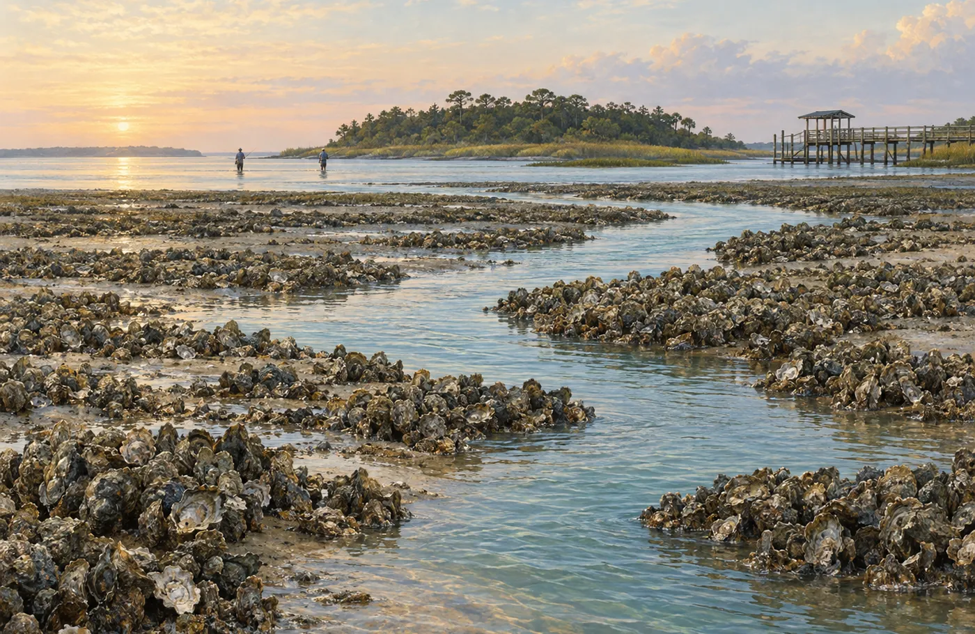
Cedar Key sits within a maze of islands, oyster habitat and shallow routes influenced by both the Suwannee basin and open Gulf.
- Region
- Nature Coast
- Counties
- Levy County
- Water profile
- Island-studded shallow Gulf water and river-influenced marsh coast

Start with geography
One area, several distinct pieces of water.
Local navigation knowledge is unusually valuable. Tide, oyster bars and unmarked shallow water should shape the route before the target species does.
- Cedar Key
- Waccasassa Bay
- Lower Suwannee coast
Build the first trip
Narrow the map before choosing tackle.
Choose one island group near the launch, follow known channels and avoid crossing unfamiliar flats on a falling tide.
Choose the water
Island-studded shallow Gulf water and river-influenced marsh coast. Treat each water type as a separate trip until you understand how they connect.
Match the habitat
Oyster bars, grass flats, marsh creeks and limestone bottom. Pick one or two habitat transitions instead of trying to sample everything.
Protect the return
Confirm the launch, forecast, water level or tide, and a sheltered fallback before leaving the ramp.
Detailed fishing guides
Go deeper in Cedar Key.
These reviewed articles cover a specific water, target species or first-trip problem inside this major area.
1 posts shown
Planning your first Cedar Key fishing trip
Build the day around one island group or creek system. Move slowly around oyster bars and avoid crossing unfamiliar flats on a falling tide.
Read articleChoose another target or view all posts for this area.