 Gulf
Western Panhandle
Emerald Coast
Clear Gulf water, white-sand passes and broad bays create trips that can move from protected inshore water to nearshore structure.
Florida’s main fishing regions
These coast hubs are the permanent starting points for planning a Florida fishing trip. Choose the region first, then open a guide post for a specific bay, lagoon, river, lake or island chain.
Explore Florida, coast by coast
These are evergreen editorial hubs, not regulatory boundaries. Their guide posts link back to the official rules that apply to each water and species.
Saltwater regions
GulfWestern Panhandle
Clear Gulf water, white-sand passes and broad bays create trips that can move from protected inshore water to nearshore structure.
 Gulf
Apalachicola Bay and the eastern Panhandle
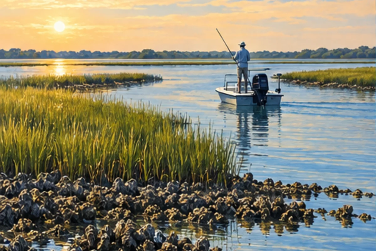
Quiet barrier islands, oyster bars and river-fed estuaries define the stretch from Mexico Beach through Apalachicola and Carrabelle.
 Gulf
Apalachee Bay and the marsh coast
Broad tidal marsh, river mouths, oyster habitat and shallow Gulf water define the low-energy coast around Wakulla, Jefferson, Taylor and Dixie counties.
 Gulf
Cedar Key to Tarpon Springs
Spring-fed rivers, limestone shoreline, grass flats and low-development Gulf water reward careful navigation and a habitat-first plan.
 Gulf
Tampa Bay and the central Gulf
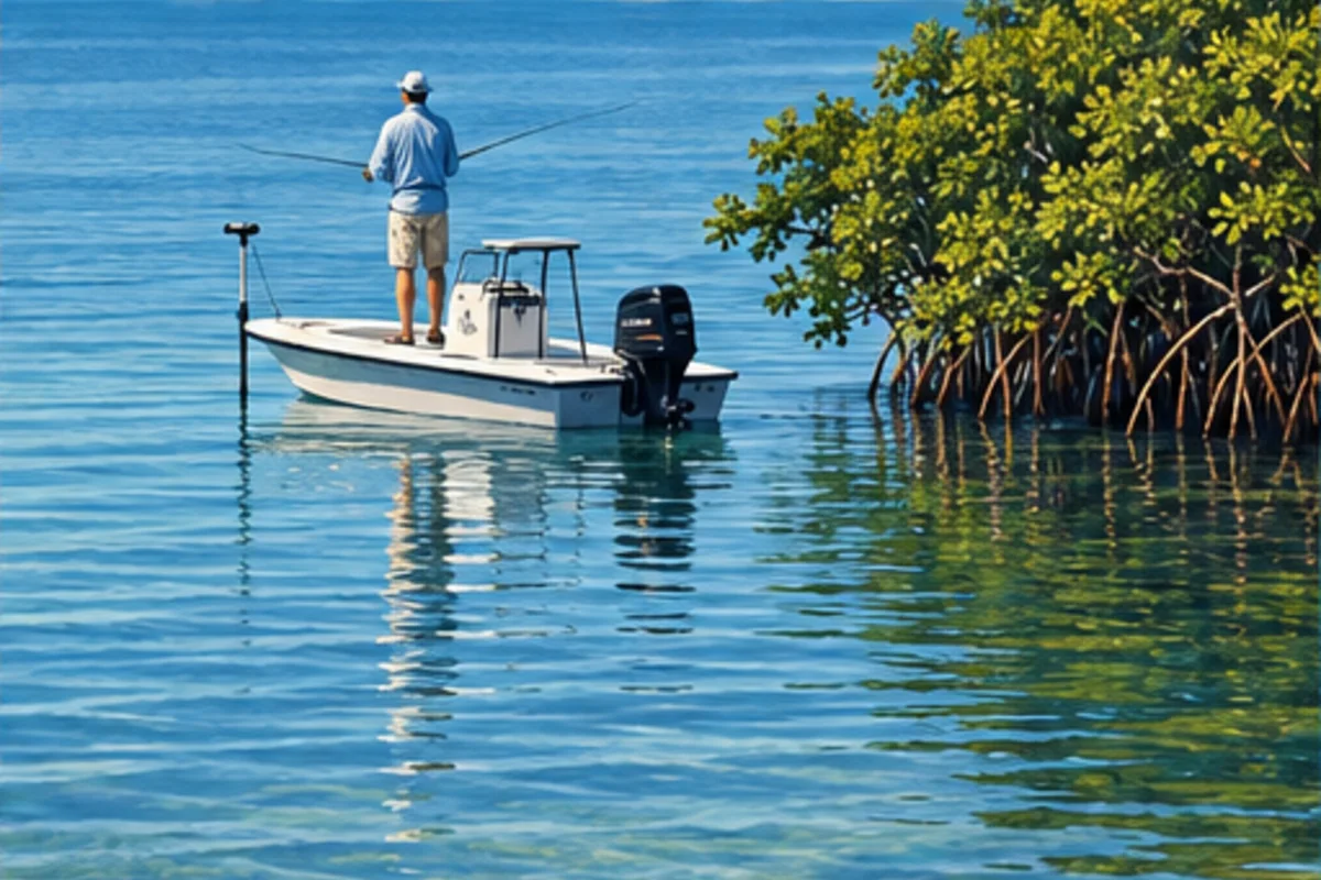
A dense mix of grass flats, bridges, passes, beaches and urban access makes this one of Florida’s most varied fishing regions.
 Gulf
Sarasota, Manatee and Venice
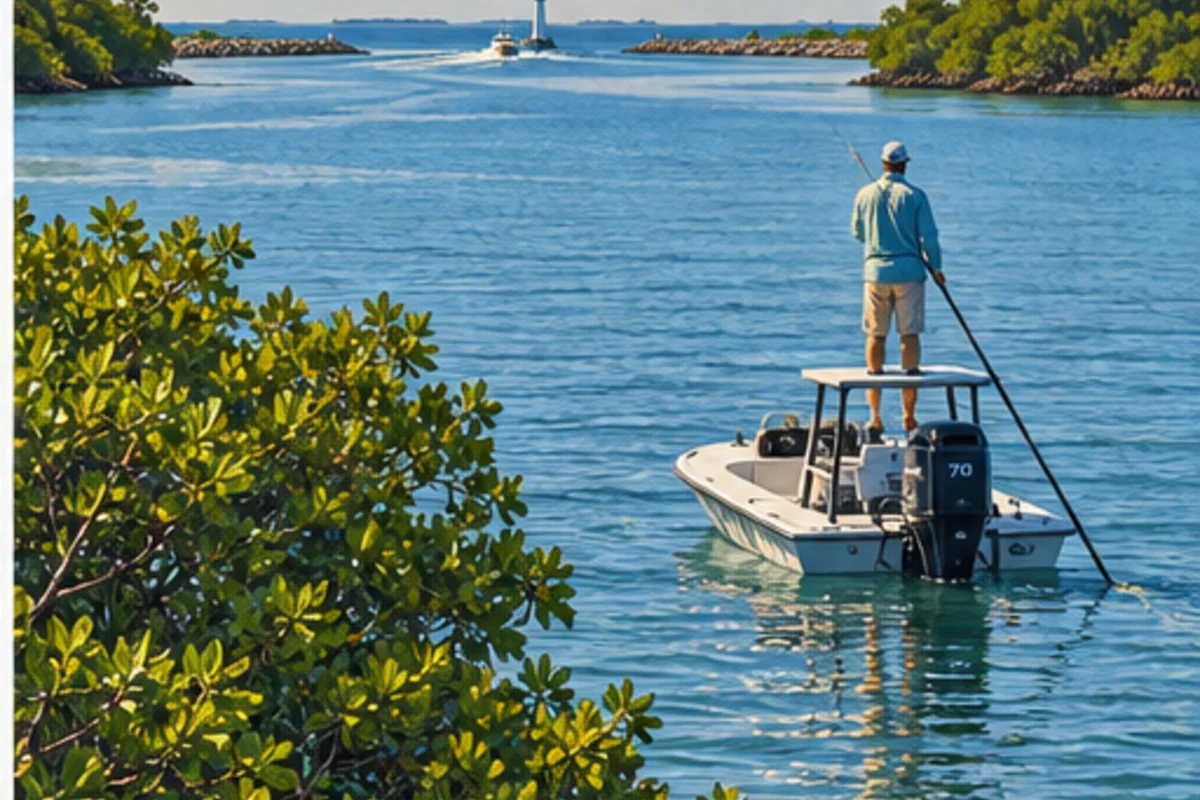
Barrier islands, shallow bays, passes and nearshore Gulf water connect Anna Maria Island, Sarasota, Siesta Key and Venice.
 Gulf
Charlotte Harbor and Boca Grande
A vast estuary, two river systems, mangrove shorelines and powerful Gulf passes make Charlotte Harbor a fishing region of its own.
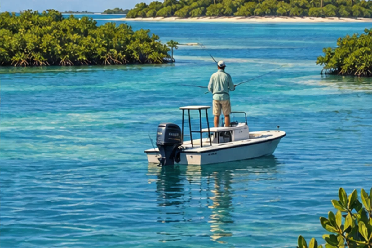 Gulf
Fort Myers, Sanibel and Captiva
Pine Island Sound, Caloosahatchee outflow, mangrove islands and Gulf passes connect Fort Myers, Sanibel, Captiva and Cape Coral.
 Gulf
Naples, Marco Island and the Ten Thousand Islands
Mangrove backcountry, remote passes and coastal wilderness make route planning, weather awareness and low-impact access essential.
 Keys
Upper Keys to Key West
Flats, bridges, reefs and blue water sit within one island chain, but each demands a different boat, weather window and fishing plan.
 Atlantic
Miami to Palm Beach
Urban bays and inlets provide fast transitions from shallow flats and seawalls to reefs, wrecks and the Gulf Stream edge.
 Atlantic
Vero Beach to Stuart
Lagoon water, ocean inlets and nearshore Atlantic structure create distinct fisheries within a relatively compact stretch of coast.
 Atlantic
Cape Canaveral and the northern lagoons
Shallow lagoons, wildlife refuges, ocean access and long stretches of protected habitat favor deliberate, low-impact fishing.
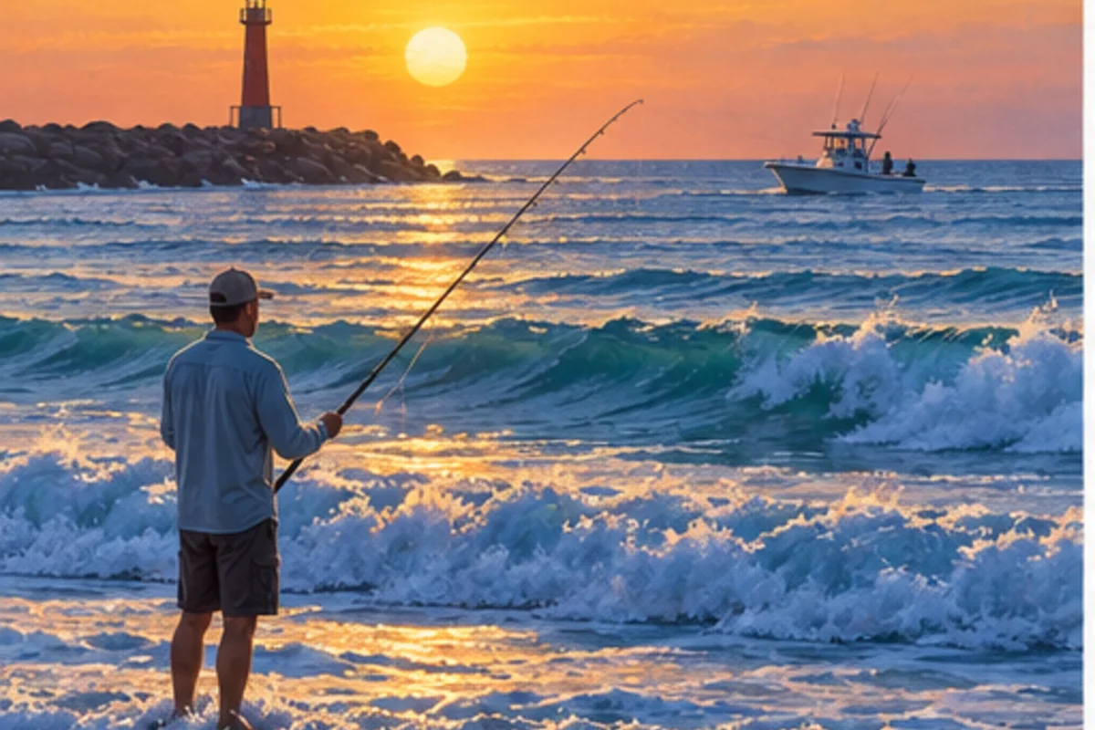 Atlantic
Flagler and Volusia counties
Atlantic beaches, productive inlets, tidal creeks and the Halifax and Indian River systems connect Flagler Beach, Daytona, Ormond Beach and New Smyrna Beach.
 Atlantic
Jacksonville to St. Augustine
Tidal rivers, marsh creeks, jetties and Atlantic beaches create strong current, broad tidal swings and varied public access.
Freshwater regions
 Inland
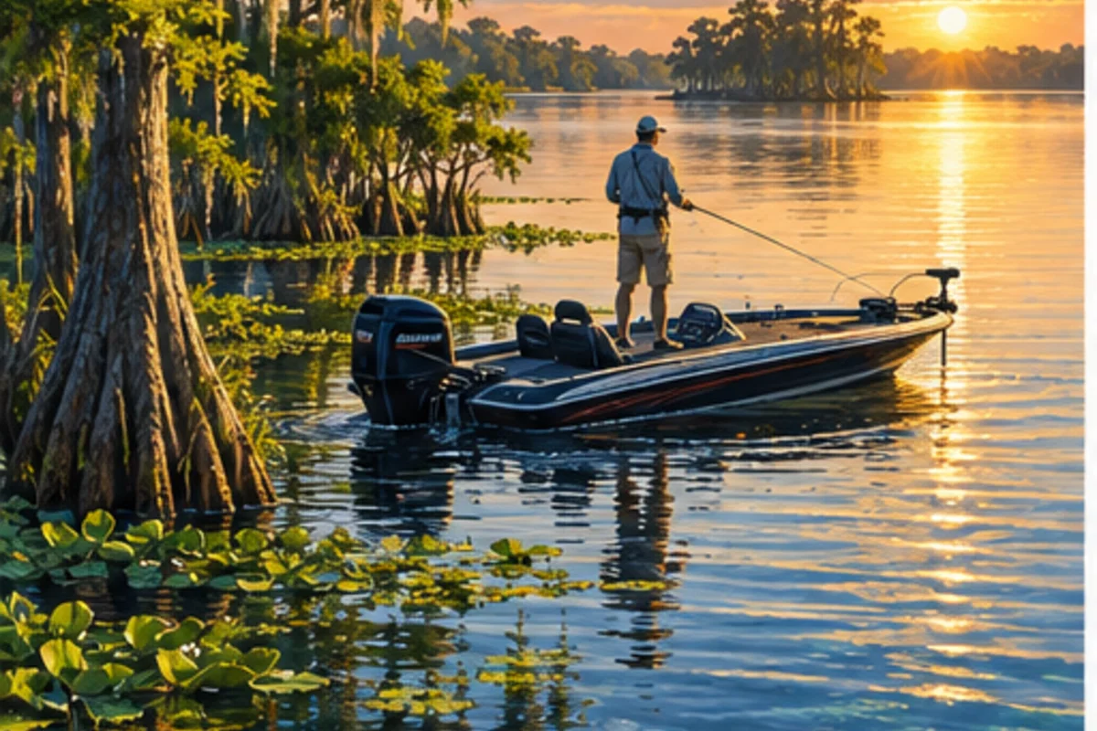
Orlando, Lakeland and the lake chains
Connected lake chains, shallow vegetation, canals and urban access define freshwater fishing around Orlando, Kissimmee, Lakeland and Winter Haven.
 Inland
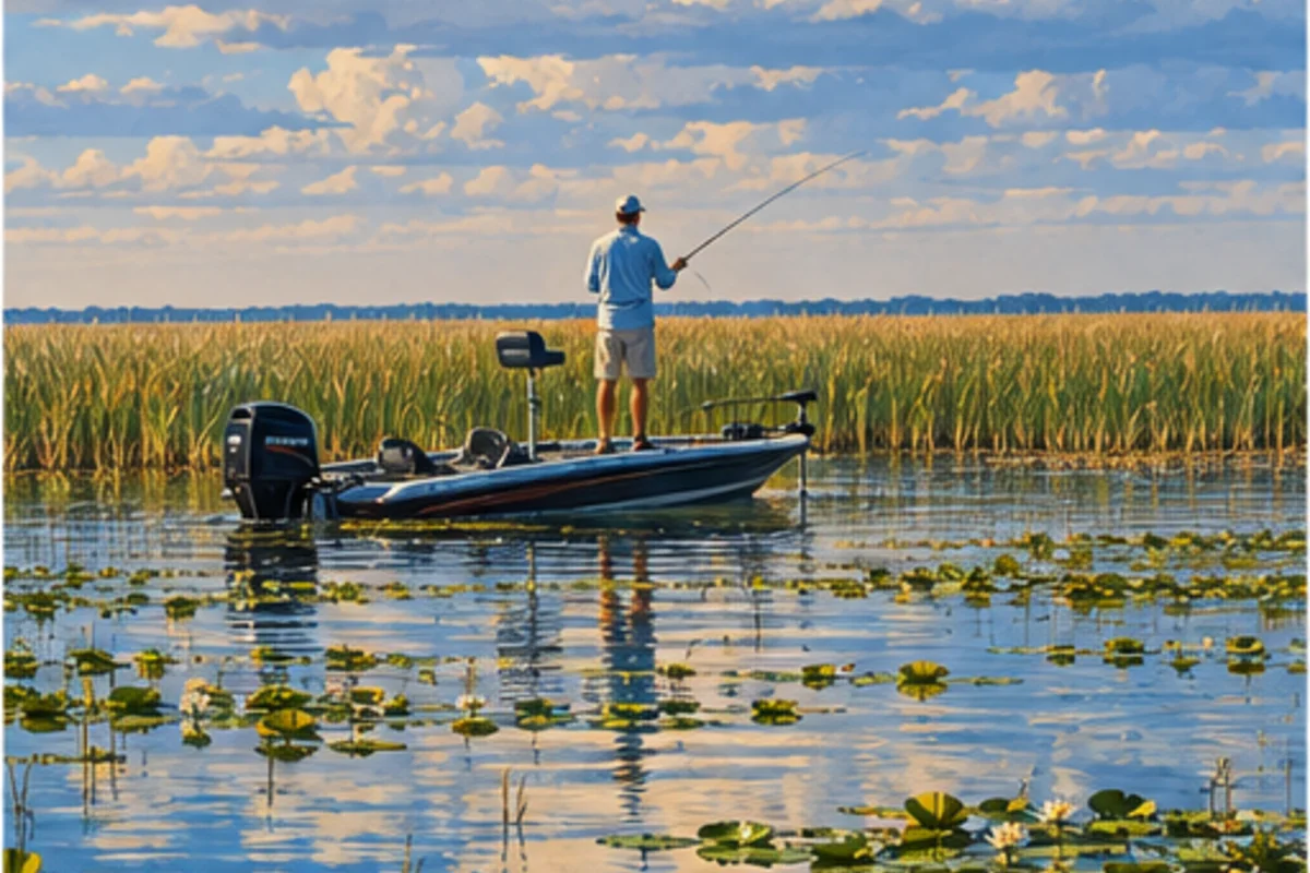
Lake Okeechobee and south-central Florida
Lake Okeechobee, rim canals, prairie waters and working ranch country anchor the freshwater identity of south-central Florida.
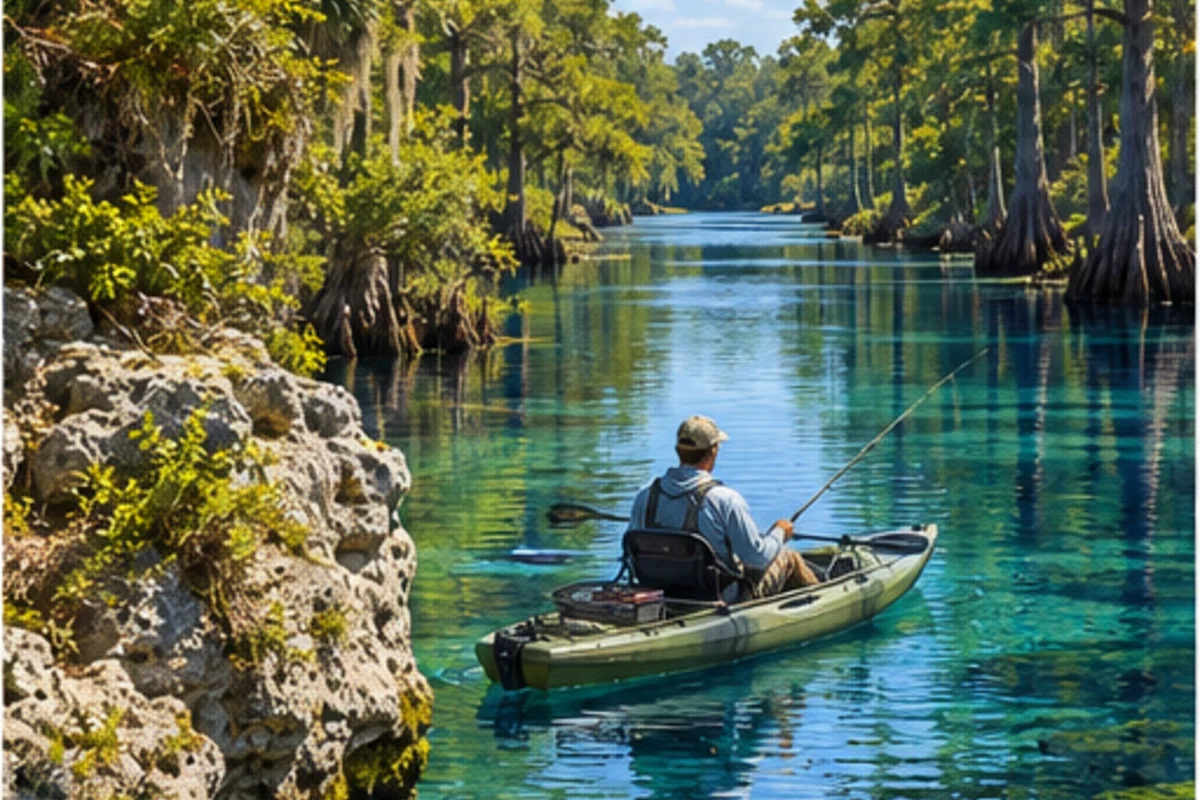 Inland
Springs country and inland rivers
Spring-fed rivers, forest lakes and major freshwater systems connect Gainesville, Ocala, the Suwannee basin and the St. Johns headwaters.
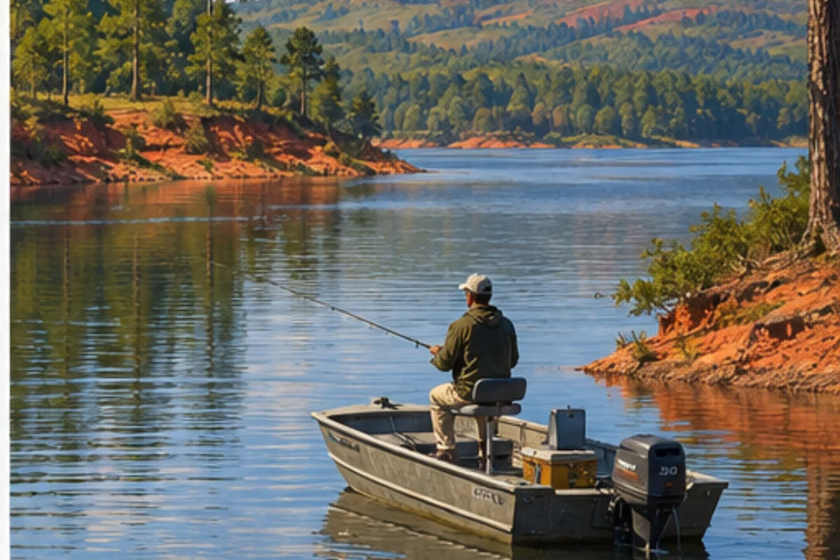 Inland
Tallahassee and inland Panhandle waters
Sinkhole lakes, river impoundments and wooded Panhandle waters create a distinct inland fishery around Tallahassee, Gadsden, Jackson and Calhoun counties.