Fort Myers, Sanibel and Captiva
Lee Island Coast
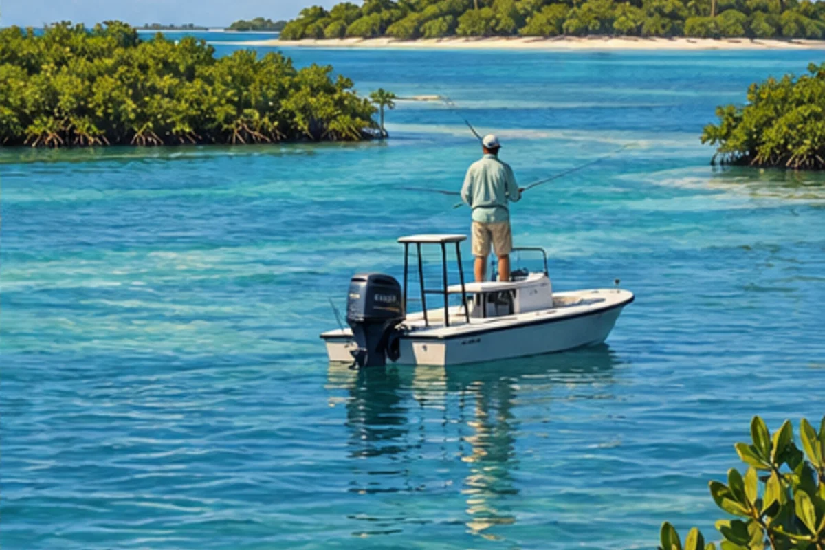
Pine Island Sound, Caloosahatchee outflow, mangrove islands and Gulf passes connect Fort Myers, Sanibel, Captiva and Cape Coral.
Plan this region
Water quality, pass conditions, distance and post-storm access can vary across Lee County; verify the specific launch and route before leaving.
Regional identity
Why this region has its own hub
Lee Island Coast remains a recognizable geographic search term. The current official visitor brand is Fort Myers - Islands, Beaches and Neighborhoods, so both names appear in the page language.
Fishing areas
Choose a specific Lee Island Coast area.
Each major-area page establishes the local geography and first-trip decisions, then leads to detailed posts for individual waters, species, access and tactics.
Fort Myers & Fort Myers Beach
Fort Myers links the Caloosahatchee River to Estero Bay and the Gulf through Matanzas Pass.
- Fort Myers
- Fort Myers Beach
- Matanzas Pass
Cape Coral & Pine Island
Cape Coral and Pine Island connect extensive canals and the Caloosahatchee with Matlacha Pass and Pine Island Sound.
- Cape Coral
- Pine Island
- Matlacha
Sanibel & Captiva
Sanibel and Captiva offer distinctly different Gulf-beach and sound-side fishing within a wildlife-rich barrier-island setting.
- Sanibel Island
- Captiva Island
- Blind Pass
Bonita Springs & Estero Bay
Estero Bay is a compact mangrove estuary between Fort Myers Beach and Bonita Springs with multiple Gulf connections.
- Bonita Springs
- Estero Bay
- New Pass

