Apalachicola Bay and the eastern Panhandle
Forgotten Coast
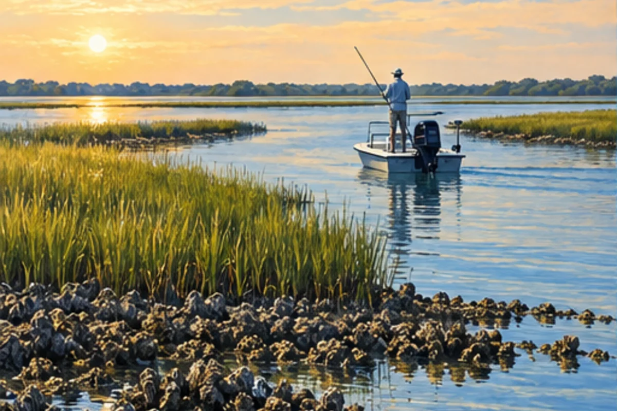
Quiet barrier islands, oyster bars and river-fed estuaries define the stretch from Mexico Beach through Apalachicola and Carrabelle.
Gulf3 major areas

Plan this region
Build the day around moving water, sensitive habitat and the distance between protected shoreline and exposed Gulf water.
Fishing areas
Choose a specific Forgotten Coast area.
Each major-area page establishes the local geography and first-trip decisions, then leads to detailed posts for individual waters, species, access and tactics.
Port St. Joe & Cape San Blas
St. Joseph Bay offers a relatively compact clear-water fishery beside the long Gulf shoreline of Cape San Blas.
- St. Joseph Bay
- Port St. Joe
- Cape San Blas
Apalachicola & St. George Island
Apalachicola Bay is a river-influenced estuary where salinity, oyster habitat and barrier-island passes shape the fishing plan.
- Apalachicola Bay
- St. George Island
- Eastpoint
Carrabelle & Alligator Point
Carrabelle and Alligator Point sit where protected river and bay water quickly gives way to a more exposed Gulf coastline.
- Carrabelle River
- Dog Island
- Alligator Point