Apalachee Bay and the marsh coast
Big Bend Coast
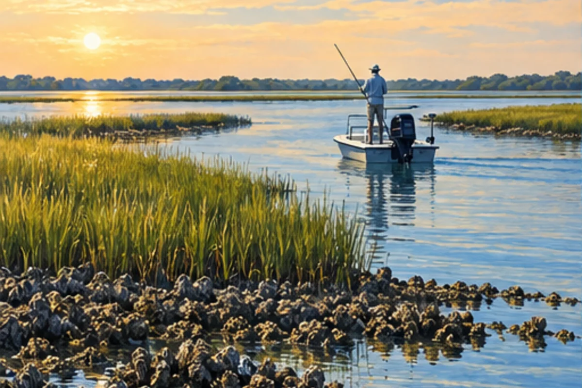
Broad tidal marsh, river mouths, oyster habitat and shallow Gulf water define the low-energy coast around Wakulla, Jefferson, Taylor and Dixie counties.
Plan this region
Long shallow approaches and large tidal swings make launch selection, draft and a conservative return route central to the trip.
Regional identity
Why this region has its own hub
FWC fishery planning distinguishes the Big Bend from the Springs Coast, while Florida DEP uses a broader Big Bend Gulf Coast region. Flo Coast uses the narrower fishing-oriented identity for trip discovery.
Fishing areas
Choose a specific Big Bend Coast area.
Each major-area page establishes the local geography and first-trip decisions, then leads to detailed posts for individual waters, species, access and tactics.
St. Marks & Wakulla
St. Marks and Wakulla combine spring and river influence with a broad, shallow marsh coast that rewards conservative navigation.
- St. Marks River
- Wakulla River
- Apalachee Bay
Keaton Beach & Perry
Taylor County’s coast is a shallow-water fishery where grass, limestone and tidal creeks spread across a broad Gulf shelf.
- Keaton Beach
- Dekle Beach
- Perry
Steinhatchee
Steinhatchee is a compact river town serving an expansive shallow-water fishery across Deadman Bay and the adjacent Gulf flats.
- Steinhatchee River
- Deadman Bay
- Gulf grass flats

